Hammocks Beach State Park and Bear Island
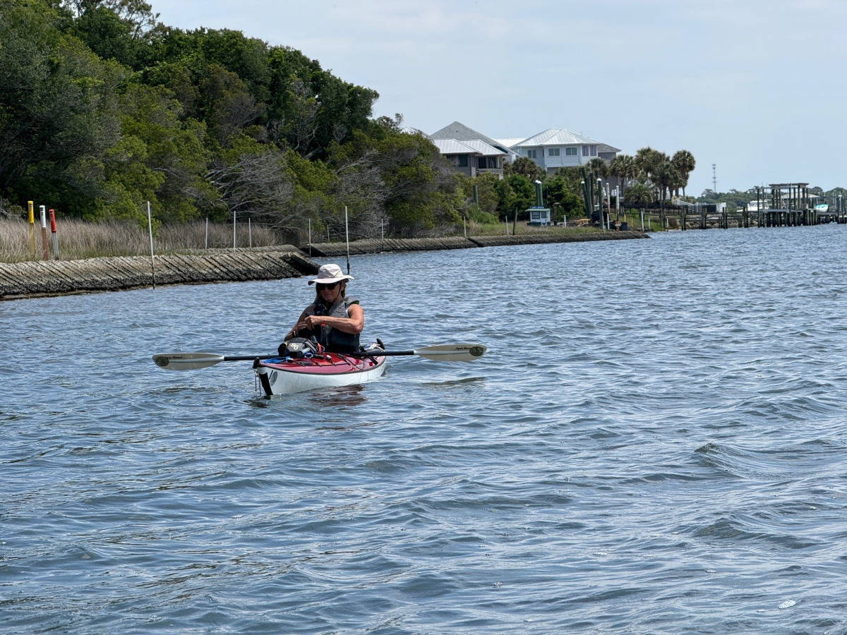
I have paddled a canoe and kayak from Hammocks Beach State Park to Bear Island and camped there several times, but it has been a few years. And, the last couple times I went, the sea grass in the estuary had grown so tall that the paddle trail markers were almost obscured, making it hard to navigate. On May 8, Janet and I made a day trip there to paddle the trail for practice, to increase my familiarity, eat a picnic on the island and then return home. Our plan was for Janet to use her binoculars to spot the trail markers. At each one I would enter a waypoint on my GPS. Then on my next trip to paddle and camp, I could plot a route on the GPS more easily to follow.
Before the trip, I researched the circumstances, and the conditions seemed perfect. Predicted weather was mostly sunny, rain chance 10%, temperature 82degrees and wind 6 mph. We would start paddling at 11 a.m. when the tide would be falling; and return from the island at 2 p.m. when the tide would be rising, both times pushing us in the right direction.
Naturally, since things often don’t go as planned, when we arrived, we encountered wind blowing more than double what was predicted, about 15 mph. It was moving straight from the island to the mainland. As we set out, we were going directly against the wind. We could make some progress, but just barely. My lesson from this situation is to review the weather in advance, but don’t depend on the prediction. Upon arrival at the put-in, check the conditions, and if not as expected, then change the itinerary accordingly.
Next, our tidal calculations omitted one important factor. The Bear Island estuary has many shallow places. We were paddling just barely before and just after low tide. We soon encountered so many sand bars and mud flats that there was not enough water depth for our paddles to get good purchase. The wind was pushing us backwards equal to our paddling forward. Then, before too long, we ran into broader sand bars with no apparent way around. So, we turned back. We had been paddling about 45 minutes, and should have been about three-quarters of the way to the island. Instead, we were only about one-quarter of the way there. My lesson is to change our itinerary so that we are paddling closer to mid-tide or high-tide.
Coincidentally, just when we turned around, we lost the trail. We could not see the next marker anywhere. Then, when we got back to the mainland, I was downloading some data from my GPS, and I discovered that the device camp pre-loaded with many trails, both on land and the water. But I had to zoom in on the map to a very low level, which I had never done, for the trails to appear on the screen. Sure enough, the Bear Island paddle trail was there. Where we lost the trail, it turned sharply to the right, left the mail channel and went through a big sea grass island, which I did not anticipate. Next time, I will zoom in and follow the mapped trail.
So, when we got back to the mainland, we ate our picnic lunch on the dock. By good luck, there we encountered several more departing paddlers who told us about a barrier island north of Wilmington that we had not heard about. It is good for kayaking, camping and observing a lot of wildlife. The name is Lea Island and Lea State Wildlife Preserve. There is not a simple paddling route to there. You have to wind your way thorough many inlets and creeks in a large marsh, with no signs, so it will be challenge to access.


