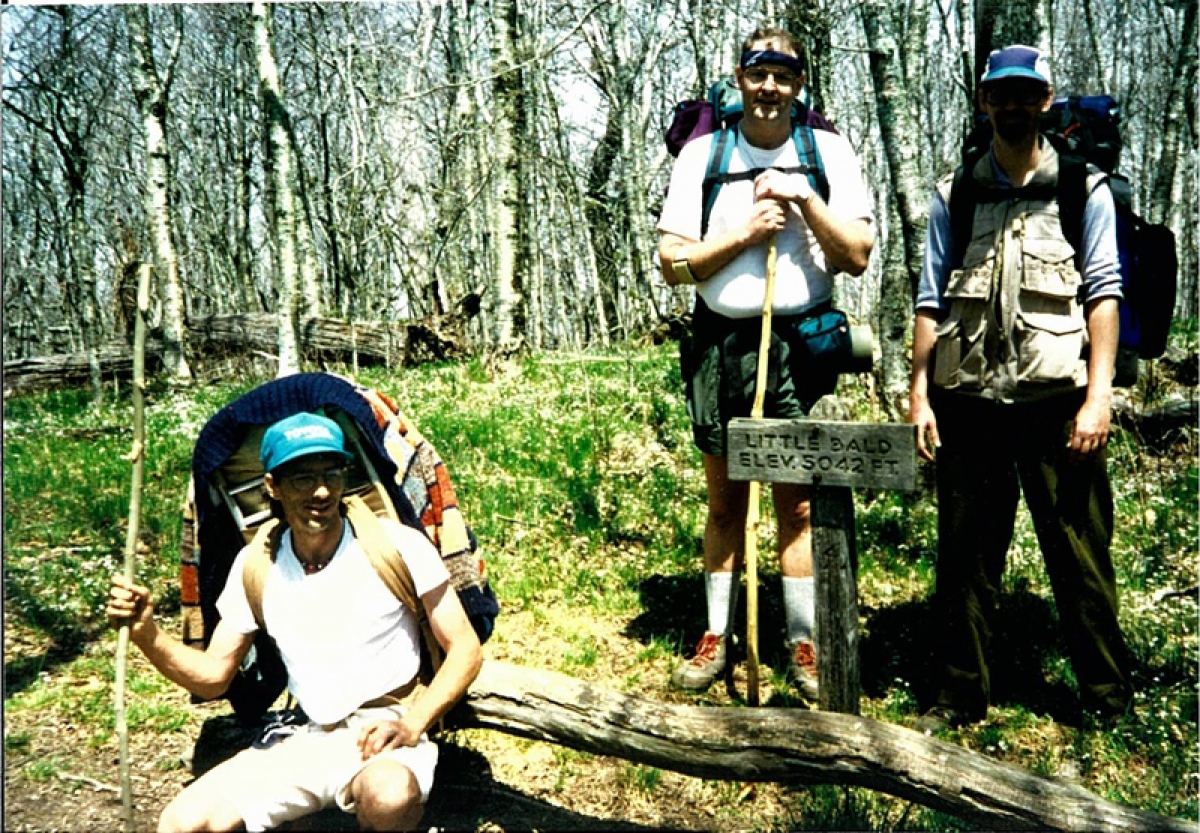
Ed elected to hike the northeastern half of the Park on the Appalachian Trail, from Newfound Gap at US 441 in the center of GSMNP to Davenport Gap at the northeast corner. For the long weekend that we went, it was an ambitious undertaking. Most people would take about five days to cover that distance, stopping each night at one of the trail shelters. We skipped every other shelter and covered it in three days. I found myself tired enough to stop each day by mid-afternoon. When we did get to our shelter for the night, I ate supper with the rest of the guys, and then collapsed into my sleeping bag, ready by sundown for some shut eye.
The Appalachian Trail through GSMNP is a wonder land of eastern USA high altitude ground. The Smokies cannot compete for altitude with any of the western mountains. The bases of the Rockies, Sierra and Cascades all start where the eastern Blue Ridge Mountains end, at about 6,000 feet. But east of the Mississippi River, Smoky Mountain Park contains about half of all the mountains above 6,000 feet. All those big peaks are traversed by the AT, including the second to highest at the Park;s Clingmans Dome - the highest point of the whole Appalachian Trail from Georgia to Maine.
Between the peaks, the AT follows many sharp ridges. We saw some of the steepest ground in North Carolina and Tennessee that is not a cliff and is still covered by grass and trees. The Smokies are also home to major flora and fauna. The Park has more species of plants than all of Europe. And it is home to black bears. We know, because we were visited by one. Our second morning, as we were finishing breakfast, we heard a loud bang. We ran around back of the shelter to look, and saw a bear trying to get into the metal storage locker where the park service employees keep their trail tools. He did not get in, and we got some good photos. Oddly, despite our many packs and some food still lying around (inside the bear proof fence surrounding the shelter, but still within smelling distance), the bear never offered to bother us or our stuff.
The last afternoon, as we were approaching Davenport Gap, we passed the side trail to Mt. Cammerer. We ditched our packs and hoofed it up the steep way to the de-commissioned fire tower atop the mountain. What a tremendous view. After descending from the tower, we continued down the AT. For a ways the trail paralleled a nice creek. We took a break, removed our boots and cooled our hot feet in the creek. After getting to the parking lot, back in the bosom of civilization, we headed to Bryson City and had a big steak dinner in celebration.
The trip was a wonderful way to stretch our legs and see some major views. A good time was had by all.


