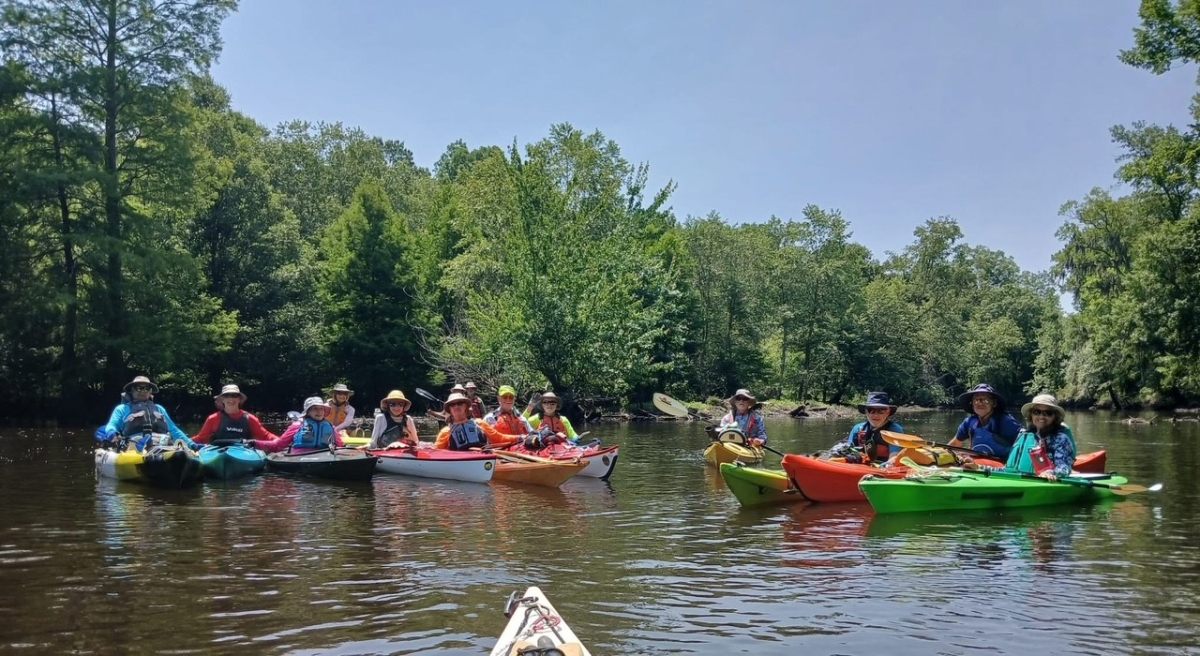
On the bright and sunny morning of Tuesday, June 3, about 15 solo kayakers and two tandem canoers met at Core Creek Landing, near Dover, NC. We were members of the Twin Rivers Paddle Club, under the able leadership of Carolyn Borgert. Our group had a few boats with spray skirts; some open cockpits and sit-on-tops; and a foot pedal boat.
To reach the meeting place at the put-in, I had a two hour drive north from Wilmington. I programmed my Jeep’s GPS to avoid the large highways and take the scenic route. The small, two-lane country roads had views for many miles of beautiful rural scenery, old farm houses, faded barns, groves of pecan trees, field crops, forests and swamps.
Core Creek is a tributary of the Neuse River. It extends upstream into a cypress and tupelo swamp. Some places it is shallow; and is alternately lined by, or interspersed with, stands of trees.
We went upstream three miles. Near the top of our run at a concrete ramp, we stopped for a snack break. The ramp curved downward precipitously as soon as it entered the water, making for bad footing and a poor landing spot. Some of the smarter paddlers [not me] debarked on the dirt shore adjacent to the ramp. About a third of the paddlers got out onto the shore to stretch out; and about two thirds stayed in their boats. Upon returning to the take-out, the same place as the put-in, we had traversed six miles and spent three hours on the water.
There was a neighborhood dog which chased us upstream for a couple miles. It was so energetic that several times it swam across the creek to reach drier sections of woods with better footing for it to run after us.
The whole trip had some mild current. I noticed that the current increased as we moved upstream, where the channel was narrower. The water also felt a little cooler than the places I had paddled recently near Wilmington, NC. Mostly there was no appreciable wind. One time, for a few minutes, it blew directly downstream. Unfortunately for me, this contrary wind was pushing me back right at a spot where my boat was dragging on the creek bottom, making me get stuck for half a minute.
The most interesting feature was the semi-swamp through which the creek coursed several times. Some of those places had no visible route, so us less experienced boaters closely followed Carolyn or Terry Rich. Carolyn commented she had been here about 15 times. I could discern her expertise, because some places the route ran between certain trees with no more than a couple inches clearance on each side of our boats. She seemed to have memorized the location of every tree in the swamp.


