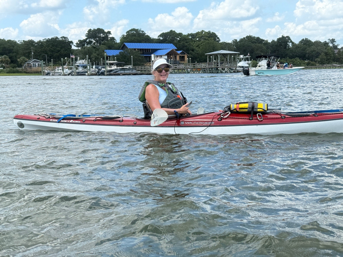
On July 18, Janet and Bob decided to go paddling our kayaks, despite the 94 degrees heat, high humidity and mostly bright sunshine. The day before, we had been to the Wrightsville SUP shop beach to paddle Lees Cut, at the north end of Banks Channel. But, after noting the conditions, Janet decided it was too hot and Bob decided it was too windy, so we did not unload the boats. Today, we could not help ourselves, and went back to the same place with the same conditions.
This time, we put at the bridge, beside the Wrightsville Beach Boat Launch, where US Hwy 74 crosses the Intracoastal Waterway. The NC Wildlife Resources Commission manages a large parking lot and boat ramp here, but for some prejudicial reason, the parking lot is limited to vehicles with trailers, which necessarily means motor boats. Even though the adjacent parking area under the bridge is not improved or maintained, the town or Wrightsville Beach still makes users pay a parking fee. We used the small sandy beach under the bridge to launch into the ICW. Then we paddled north 100 yards and turned east into Lees Cut.
This bay is flanked to the south and east by large houses with docks; to the north by large sea grass beds; and to the west by the ICW. We purposefully went just before, during and after high tide, but did not know which way the current flows when the tide is going in or out. We learned that when it is flowing out, it goes through the Cut to the west, which seems intuitively backwards. The lesson is that local knowledge and experience trumps logic and theory. This current held us back going eastward, and pushed us quickly going westward, making our situation the safest, since westward was towards our take out. We paddled as far as the Wrightsville SUP shop, and disembarked at their sandy beach to sit on the dock and stretch our legs.
After waiting out a very brief but hard rain shower under a handy beach umbrella, we paddled back to our take out, at the put in. Obstinately, the wind blew directly in our face and held us back, going both ways. That condition seems to happen to us more often than the odds would predict.
Only one of us capsized while entering their boat at the mid-trip rest stop, but which one will remain a secret. Either I experienced, or I was told, that the dunking was refreshing. Surprisingly, the high heat and humidity were noticeable, but not oppressive. We never got really sweaty. During the paddle, we both ameliorated the heat by scooping up cool water and splashing it on our backs, necks and chests.
Even though the trip was only 2.25 hours and 2.75 miles, I used two navigation devices for practice. Paddle Ways is a smart phone app sponsored by our paddling equipment friends at Northwest River Supplies on Idaho. It has a beautiful screen, bright colors, easily viewed graphics, intuitive systems, and a wealth of information. Unfortunately, those features mostly work indoors, away from the bright sun, water drops and rocking boats. On the water, it was almost impossible to see the screen or use the features. Worst of all, it would turn itself off every few minutes and stop tracking. To use it again, the user has to wake up the phone, turn on the program, push buttons to find the map page, wait for the tracking to catch up, and then do something, like enter a waypoint, all of which takes about a minute and a half. Meanwhile, the wind and current are pushing the user’s boat off the course, and his partners are leaving him behind. I will continue to use Paddle Ways at the put in and take out for its large amount of information, but not use it while moving.
The star of the navigation show was my Garmin Montana 750i, which is as it should be, since this device costs about ten times more than the phone app. Everything worked well. Best of all, I recently learned how to pre-program serial waypoints. Upon reaching a turn or other important point, I could push one button, instead of five buttons, to mark the spot, correctly labeled and in proper geographical and numerical order.
N 34 13 11.16
W -77 48 32.01


